
Archaeology of the Diversion Dam and the 1719 Acequia Madre
The Spanish and American Indians of the Province of Texas built the Diversion Dam to channel the river water to the massive 1719 Acequia Madre. The dam crossed the river at what is now the Witte Museum and funneled water into the 1719 Acequia Madre.
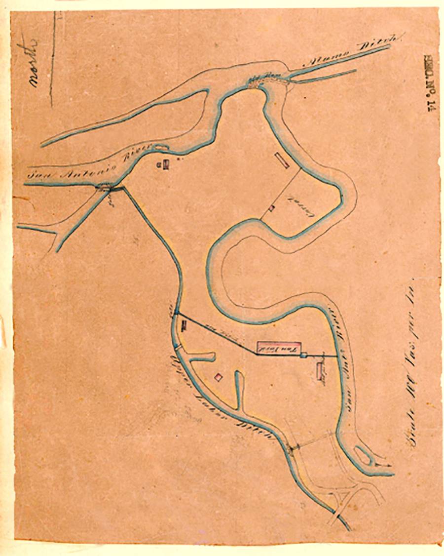
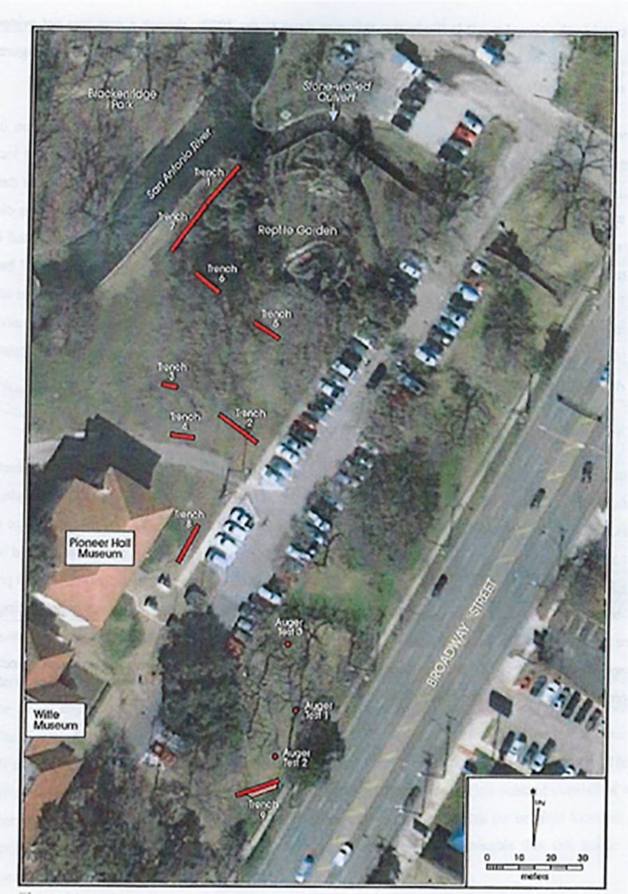
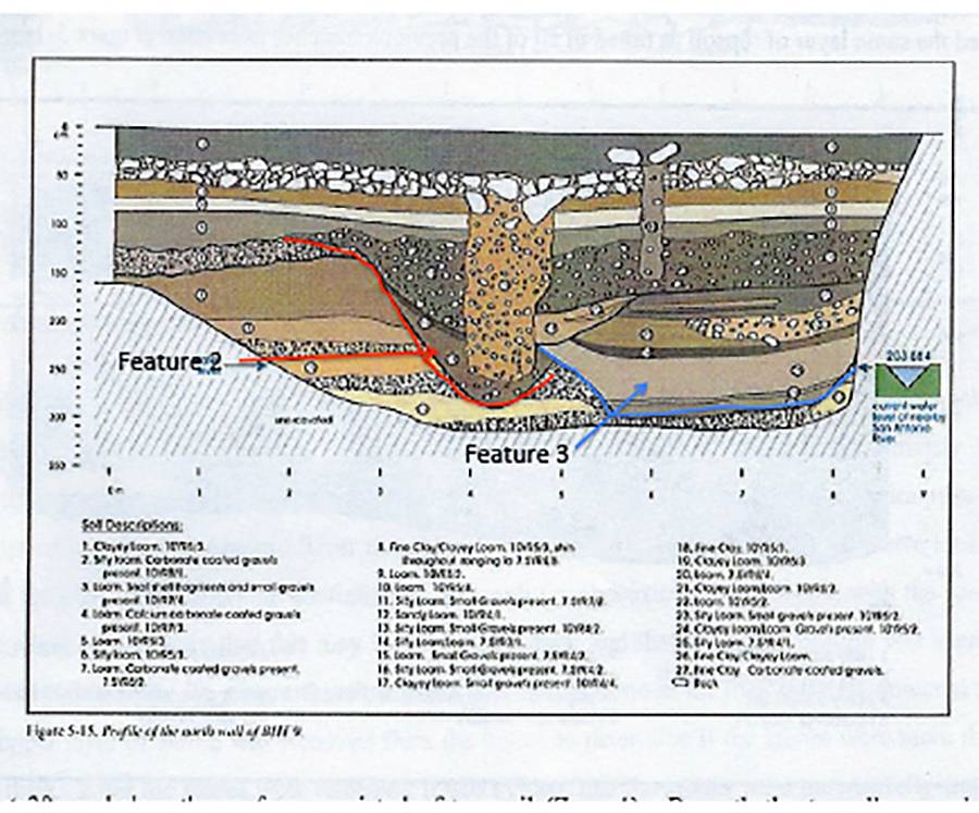
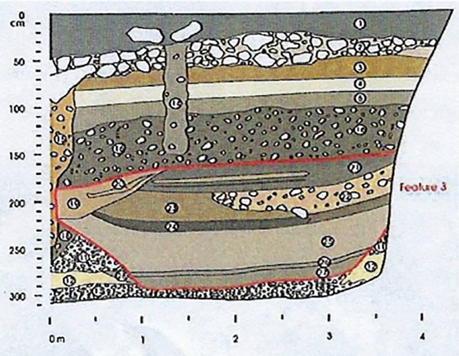
In 2010-2015, archaeologists conducted excavations to search for the remains of the Diversion Dam on both the west and east banks of the San Antonio River that fed water into the Acequia Madre. The dam was located at a curve in the river in order to divert the water into the acequia. Archival maps show the dam as a stacked stone structure that was slightly curved. There was no apparent surface indication of the dam when landscaping for the New Witte Museum was begun in 2015. During the Works Progress Administration modifications along the river in 1939 may have buried traces of the dam. Explorations by the Center for Archaeological Research at The University of Texas at San Antonio confirmed the 1719 Acequia Madre crosses the Witte campus. They also found the stone ruins of the dam on the west bank of the river and confirmed the base of the dam was comprised of large limestone blocks.